Cartography
Explorations in developing maps using open source data and tools.
These posts document the process of learning how to build maps, both interactive and printed. I love the core challenge of maps: finding a balance between the extensive richness of information and an ordered and cohesive experience.
Cartography posts
-
Mapping the climate similarity of U.S. cities
-
Creating high-resolution raster terrain tiles from LIDAR source DEMs
-
Mapping every high-rise apartment building in Seattle
-
Identifying trees from LIDAR data and creating a site survey
-
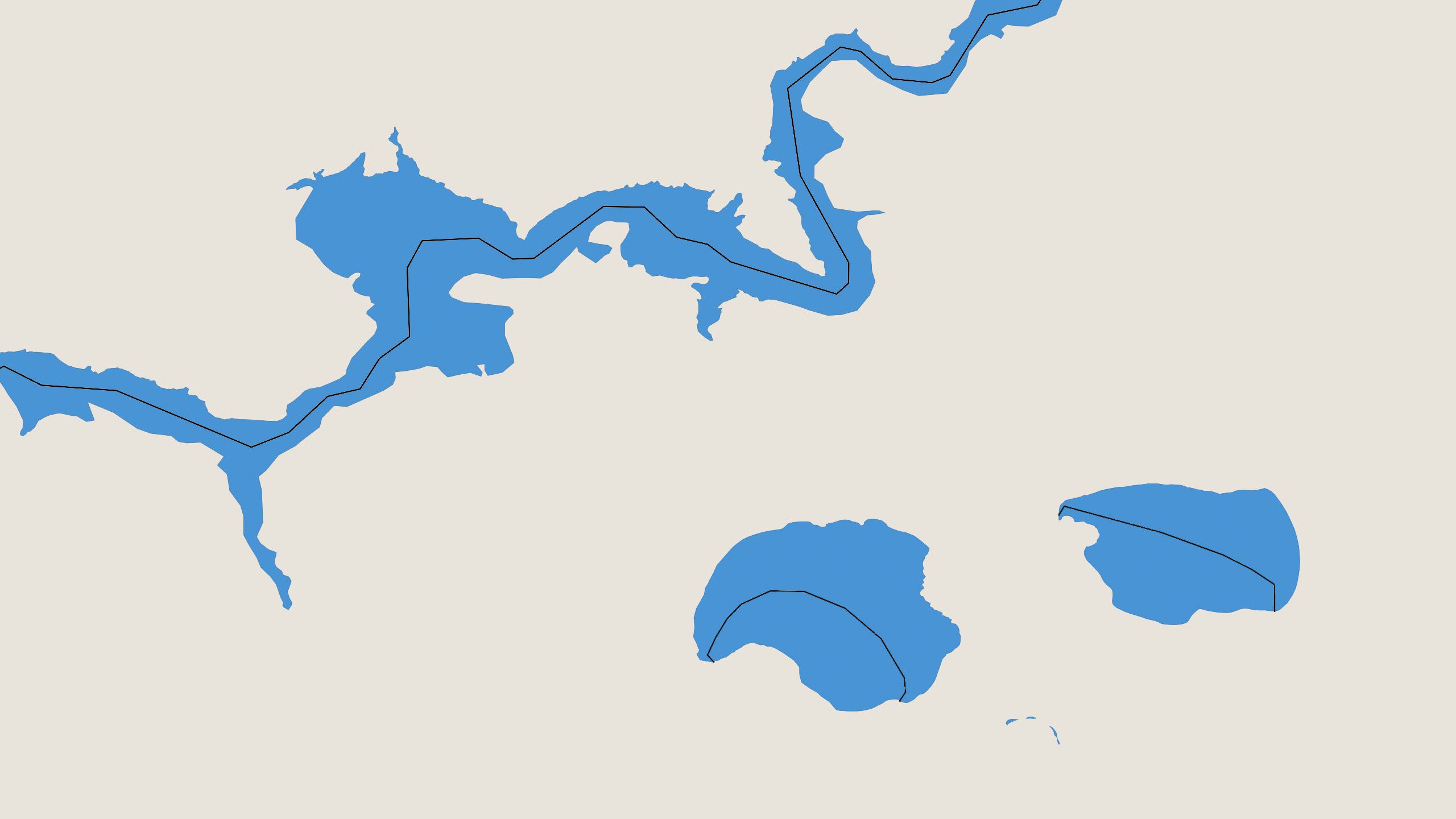
A method to generate elegantly curved polygon label text for digital maps